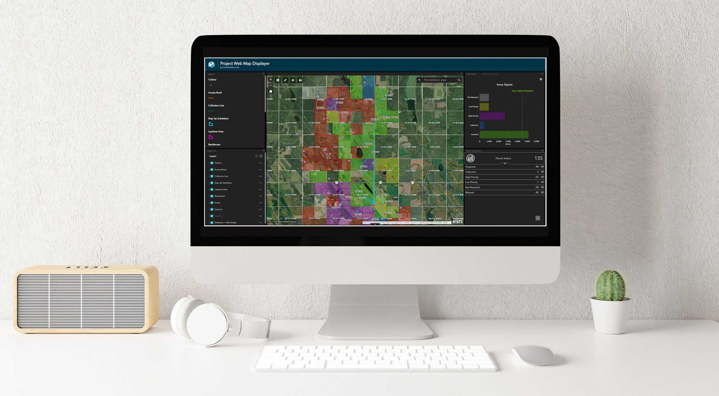
The more common capabilities used by clients include:
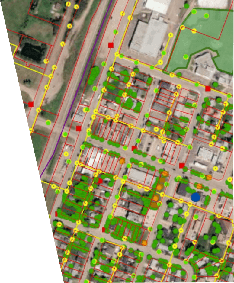
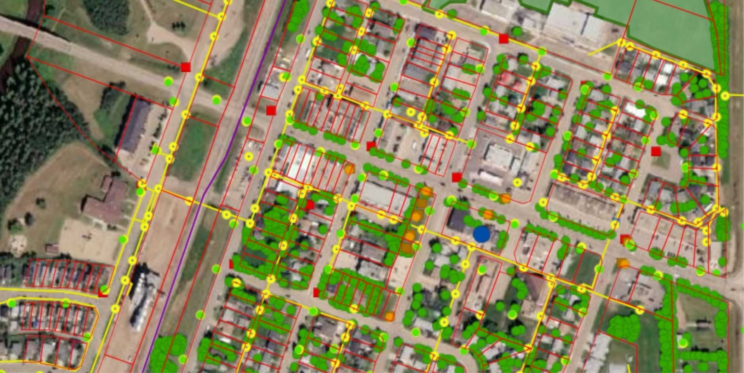
- Interactive custom mapping
- Web-based data hosting
- Route planning and site selection
- Project feasibility analysis
- Land use planning and analysis
- Data analysis, collection, and management
- Map digitization and conversions
- Landowner identification
- Stakeholder database creation
- Line list preparation and organization
- Aerial drone imagery and geo-referencing
- Off-line location mapping for field staff
- Custom project shapefiles
- Creative and interactive story maps
- Quality assurance and control
When you’re ready to modernize your project communication or want to centralize and visualize your information to reduce delays and change orders, our team is here to support you.
